


File:Small-Oregon-Map.png
Size of this preview: 470 × 599 pixels. Other resolutions: 188 × 240 pixels | 546 × 696 pixels.
Original file (546 × 696 pixels, file size: 558 KB, MIME type: image/png)
Summary
| Description |
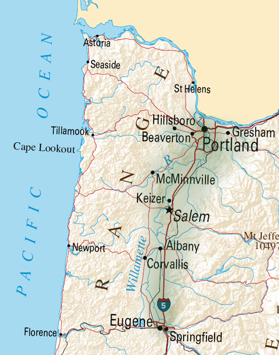
Small Map of Oregon |
|---|---|
| Source |
Adaptation of a file from Wikimedia Commons: http://en.wikipedia.org/wiki/File:Map_of_Oregon_NA.png Digital editing by Tim Davenport for Wikipedia, no copyright claimed |
| Date | |
| Author | |
| Permission (Reusing this file) |
See below.
|
Licensing
File history
Click on a date/time to view the file as it appeared at that time.
| Date/Time | Thumbnail | Dimensions | User | Comment | |
|---|---|---|---|---|---|
| current | 20:05, 12 April 2010 | | 546 × 696 (558 KB) | Carrite (talk | contribs) | Better depiction of Willamette Valley boundaries |
| 18:38, 12 April 2010 |  | 546 × 696 (552 KB) | Carrite (talk | contribs) | Adaptation of a file from Wikipedia Commons: http://en.wikipedia.org/wiki/File:Map_of_Oregon_NA.png Digital editing by Tim Davenport for Wikipedia, no copyright claimed |
You cannot overwrite this file.
File usage
The following file is a duplicate of this file (more details):
- File:Small-Oregon-Map.png from Commons
The following 3 pages use this file: