


Size of this PNG preview of this SVG file: 643 × 600 pixels. Other resolutions: 257 × 240 pixels | 515 × 480 pixels | 823 × 768 pixels | 1,098 × 1,024 pixels | 2,195 × 2,048 pixels | 1,357 × 1,266 pixels.
Original file (SVG file, nominally 1,357 × 1,266 pixels, file size: 593 KB)
| Description |
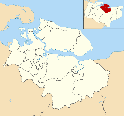
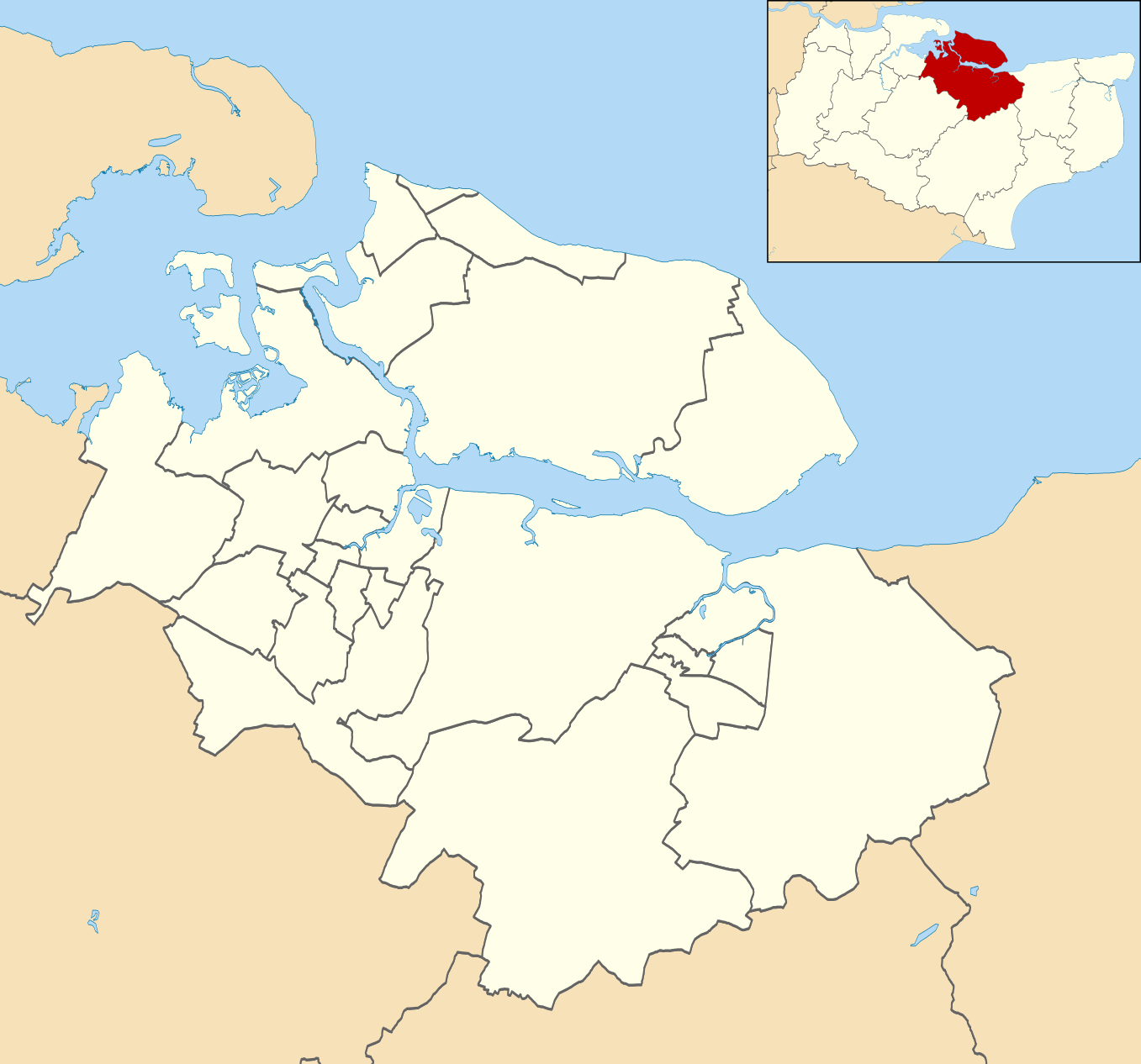
Map of Swale, Kent, UK with electoral wards shown. Equirectangular map projection on WGS 84 datum, with N/S stretched 160% Geographic limits:
|
| Date | |
| Source |
|
| Author | Nilfanion, created using Ordnance Survey data |
| Permission (Reusing this file) |
This file is licensed under the Creative Commons Attribution-Share Alike 3.0 Unported license. Attribution: Contains Ordnance Survey data © Crown copyright and database right
|
File history
Click on a date/time to view the file as it appeared at that time.
| Date/Time | Thumbnail | Dimensions | User | Comment | |
|---|---|---|---|---|---|
| current | 22:38, 24 April 2011 | | 1,357 × 1,266 (593 KB) | Nilfanion | {{Information |Description=Map of Swale, Kent, UK with electoral wards shown. Equirectangular map projection on WGS 84 datum, with N/S stretched 160% Geographic limits: *West: 0.59E *East: 1.07E *North: 51.49N *South: 51.21N |Source=[[w:Ordnance Survey| |
File usage
The following page uses this file:
.svg)