


Size of this preview: 800 × 532 pixels. Other resolutions: 320 × 213 pixels | 640 × 426 pixels | 1,024 × 681 pixels | 1,280 × 851 pixels | 1,600 × 1,064 pixels.
Original file (1,600 × 1,064 pixels, file size: 257 KB, MIME type: image/jpeg)
Summary
| Description |
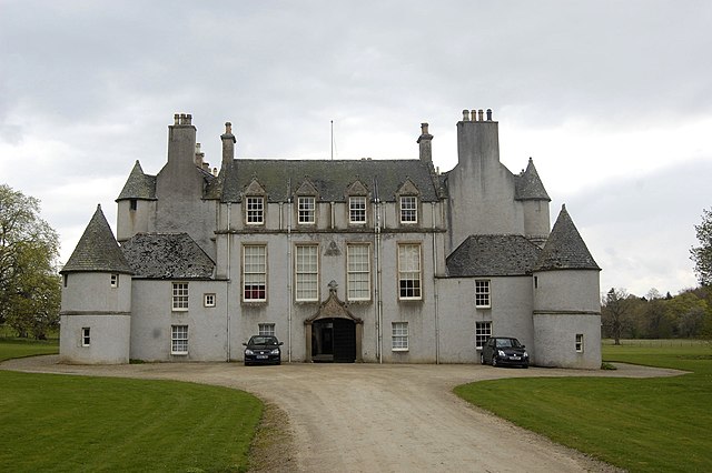
English: Leith Hall (rear elevation) For its history, see: http://www.undiscoveredscotland.co.uk/rhynie/leithhall/index.html |
| Date | |
| Source | From geograph.org.uk |
| Author | Bill Harrison |
| Attribution (required by the license) | Bill Harrison / Leith Hall (rear elevation) / |
| Camera location | | View this and other nearby images on: OpenStreetMap |
|---|
_-_geograph.org.uk_-_1273765.jpg¶ms=057.356310_N_-002.765100_E_globe:Earth_type:camera_source:geograph-osgb36(NJ54062979)_heading:90.00&language=en)
| Object location | | View this and other nearby images on: OpenStreetMap |
|---|
_-_geograph.org.uk_-_1273765.jpg¶ms=057.356230_N_-002.764300_E_globe:Earth_class:object_type:object_source:geograph-osgb36(NJ54112978)_heading:90.00&language=en)
Licensing

|
This image was taken from the Geograph project collection. See this photograph's page on the Geograph website for the photographer's contact details. The copyright on this image is owned by Bill Harrison and is licensed for reuse under the Creative Commons Attribution-ShareAlike 2.0 license.
|
This file is licensed under the Creative Commons Attribution-Share Alike 2.0 Generic license.
Attribution: Bill Harrison
- You are free:
- to share – to copy, distribute and transmit the work
- to remix – to adapt the work
- Under the following conditions:
- attribution – You must give appropriate credit, provide a link to the license, and indicate if changes were made. You may do so in any reasonable manner, but not in any way that suggests the licensor endorses you or your use.
- share alike – If you remix, transform, or build upon the material, you must distribute your contributions under the same or compatible license as the original.
File history
Click on a date/time to view the file as it appeared at that time.
| Date/Time | Thumbnail | Dimensions | User | Comment | |
|---|---|---|---|---|---|
| current | 23:02, 7 September 2017 | | 1,600 × 1,064 (257 KB) | Geograph Update Bot | Higher-resolution version from Geograph. |
| 03:01, 27 February 2011 |  | 640 × 426 (56 KB) | GeographBot | == {{int:filedesc}} == {{Information |description={{en|1=Leith Hall (rear elevation) For its history, see: http://www.undiscoveredscotland.co.uk/rhynie/leithhall/index.html}} |date=2009-04-26 |source=From [http://www.geograph.org.uk/photo/1273765 geograph |
File usage
The following page uses this file:
Global file usage
The following other wikis use this file:
- Usage on en.wikivoyage.org
- Usage on zh.wikipedia.org
_-_geograph.org.uk_-_1273765.jpg)