


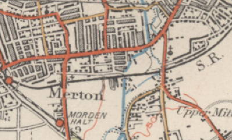
File:Extract of 1920s map of Merton.png
No higher resolution available.
Extract_of_1920s_map_of_Merton.png (797 × 481 pixels, file size: 200 KB, MIME type: image/png)
Summary
This map is an extract of an old Ordnance Survey map from the 1920s which is out of copyright. see Licensing below for details of the source of this image. --DavidCane 23:53, 18 February 2007 (UTC)
Licensing
File history
Click on a date/time to view the file as it appeared at that time.
| Date/Time | Thumbnail | Dimensions | User | Comment | |
|---|---|---|---|---|---|
| current | 23:59, 28 February 2007 | | 797 × 481 (200 KB) | DavidCane (talk | contribs) | ==Summary== This map is an extract of an old Ordnance Survey map from the 1920s which is out of copyright. see Licensing below for details of the source of this image. --DavidCane 23:53, 18 February 2007 (UTC) == Licensing == { |
You cannot overwrite this file.
File usage
The following 2 pages use this file: