


Size of this preview: 800 × 562 pixels. Other resolutions: 320 × 225 pixels | 640 × 450 pixels | 1,024 × 720 pixels | 1,280 × 900 pixels | 2,672 × 1,878 pixels.
Original file (2,672 × 1,878 pixels, file size: 2.07 MB, MIME type: image/jpeg)
Summary
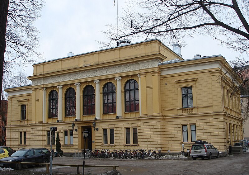
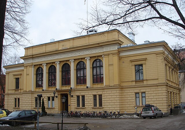
| Description | Östgöta nation, Uppsala, Sweden |
| Date | |
| Source | I took the picture |
| Author | Användare:Goombah |
| Camera location | | View this and other nearby images on: OpenStreetMap |
|---|
Licensing
| I, the copyright holder of this work, release this work into the public domain. This applies worldwide. In some countries this may not be legally possible; if so: I grant anyone the right to use this work for any purpose, without any conditions, unless such conditions are required by law. |
File history
Click on a date/time to view the file as it appeared at that time.
| Date/Time | Thumbnail | Dimensions | User | Comment | |
|---|---|---|---|---|---|
| current | 15:51, 10 March 2007 | | 2,672 × 1,878 (2.07 MB) | Goombah | {{Information |Description=Östgöta nation, Uppsala, Sweden |Source=I took the picture |Date=11-03-2007 |Author=Användare:Goombah |Permission= |other_versions= }} |
File usage
The following 2 pages use this file:
Global file usage
The following other wikis use this file:
- Usage on de.wikipedia.org
- Usage on es.wikipedia.org
- Usage on it.wikipedia.org
- Usage on sv.wikipedia.org
- Usage on www.wikidata.org
You must be logged in to post a comment.