


Customs Street is a street in the Auckland City Centre, New Zealand, located between Hobson Street and Beach Road. The street is split into two sections at the junction of Queen Street, Customs Street West and Customs Street East.
History


Customs Street was built on reclaimed land.[4] Customs Street East began as a seawall between Point Stanley and Point Britomart across Commercial Bay, a former bay that used to exist on the Auckland waterfront. By 1859, reclamation work on Commercial Bay had begun, and Customs Street was created.[5] Much of the fill used to create the land along Customs Street was taken from Point Britomart, a former peninsula to the east of the street.[4]
The street was an important centre for trade in Auckland in the early 20th century due to its proximity to the Auckland waterfront and the railway station. Customs Street had a mix of warehouses, commercial offices of shipping companies found on the north, with shops and businesses found to the south.[4]
Demographics
The demographics of the Quay Street-Customs Street statistical area are covered at Quay Street, Auckland#Demographics.
Notable locations
- The Aon Centre, also known as the AMP Tower
- Australis House
- Commercial Bay, a mixed-use office tower and retail development
- The former Customhouse, now the location of duty-free shopping centre T Galleria
- The Dilworth Building, a historic mixed-use building constructed in the 1920s.[6]
- Seascape, a residential skyscraper currently under construction
- Queens Arcade, a historic shopping arcade
- The United States Consulate General[4]
Gallery
-

-
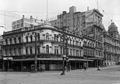 the Waitemata Hotel on the corner of Queen Street and Customs Street in 1927
 -

-
 Heritage buildings on Customs Street East
 -
 Excelsior Building, Stanbeth House and Masonic Club
 -
![Australis House and Arthur H. Nathan Warehouse (architect Arthur Pollard Wilson, who also designed Strand Arcade, Naval and Family Hotel,Northern Steam Ship Company Building and Isaacs’ Bonded Stores)[7]](https://upload.wikimedia.org/wikipedia/commons/thumb/3/31/Australis_House_-_38297532852.jpg/120px-Australis_House_-_38297532852.jpg) Australis House and Arthur H. Nathan Warehouse (architect Arthur Pollard Wilson, who also designed Strand Arcade, Naval and Family Hotel,Northern Steam Ship Company Building and Isaacs’ Bonded Stores)[7]
Australis House and Arthur H. Nathan Warehouse (architect Arthur Pollard Wilson, who also designed Strand Arcade, Naval and Family Hotel,Northern Steam Ship Company Building and Isaacs’ Bonded Stores)[7] -
 The former Customhouse
 -
 Tepid Baths on Customs Street West


![Australis House and Arthur H. Nathan Warehouse (architect Arthur Pollard Wilson, who also designed Strand Arcade, Naval and Family Hotel,Northern Steam Ship Company Building and Isaacs’ Bonded Stores)[7]](https://kihulane.eu/encyclopedia/dmitri-medvedjev?rdp_we_resource=https%3A%2F%2Fen.wikipedia.org%2Fwiki%2FFile%3AAustralis_House_-_38297532852.jpg)


References
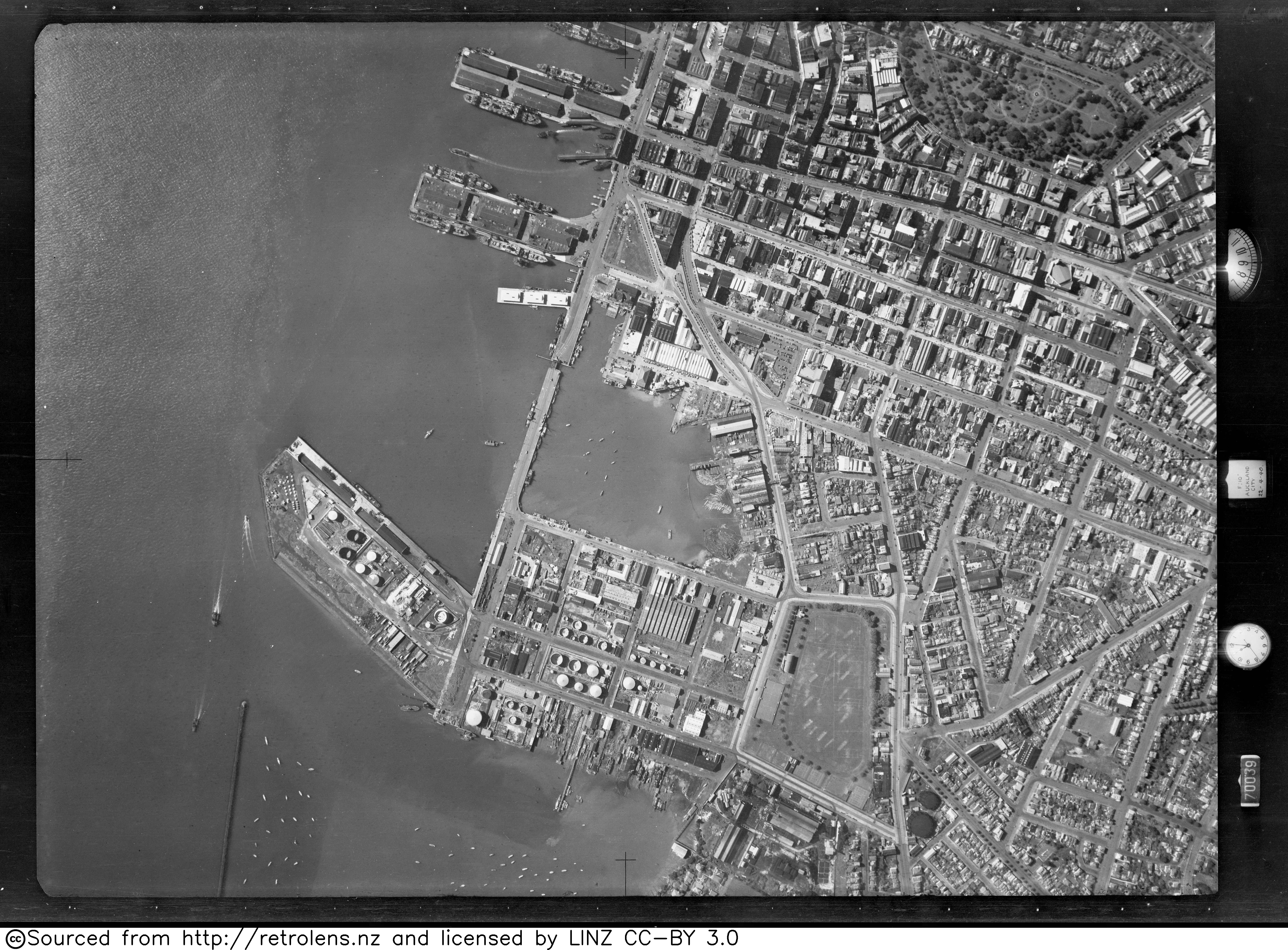
- ^ "Survey: SN146 Run: 63 Photo: 7". Retrolens. 22 April 1940.
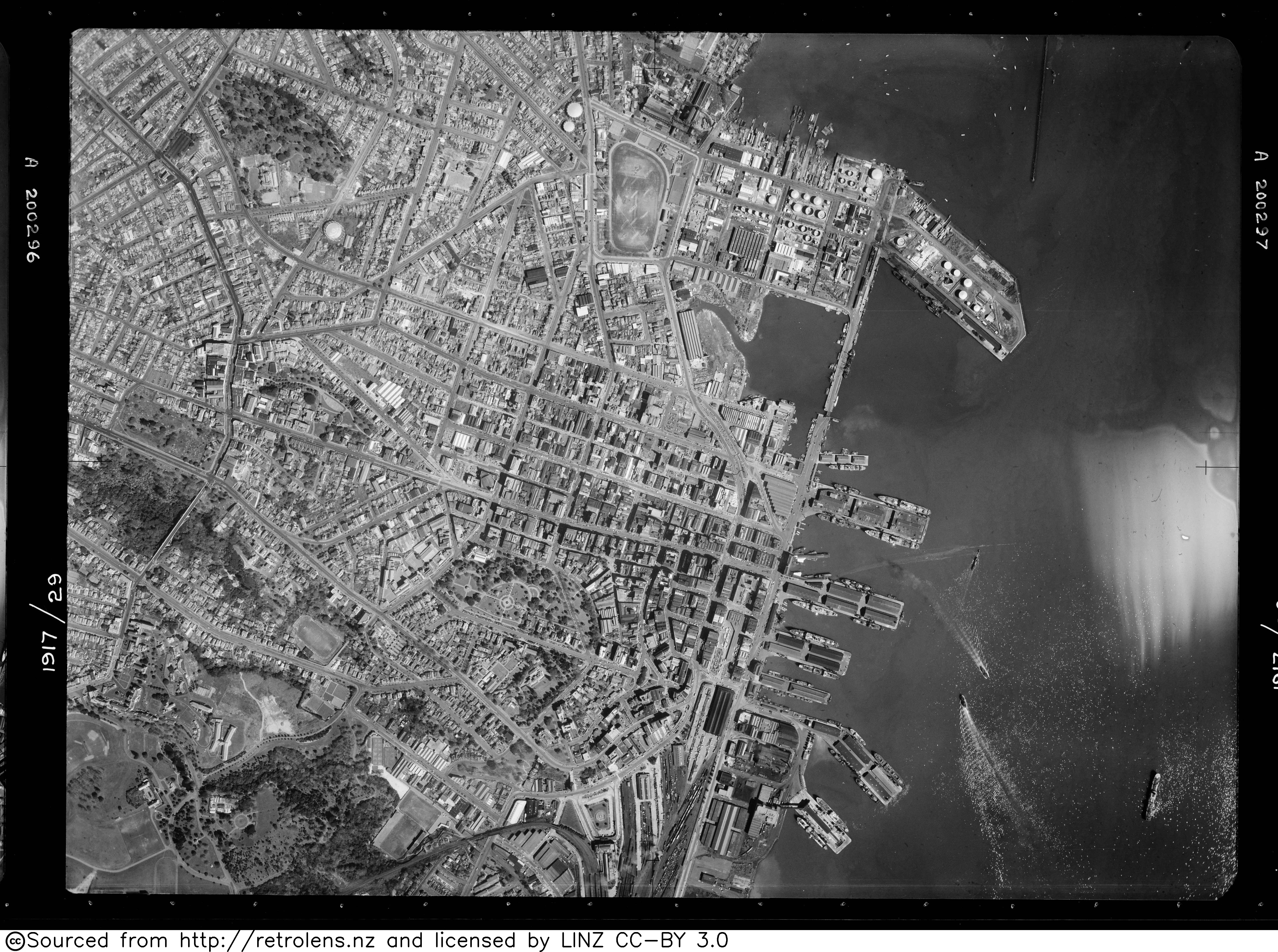
- ^ "Survey: SN583 Run: 1917 Photo: 29". Retrolens. 19 September 1950.
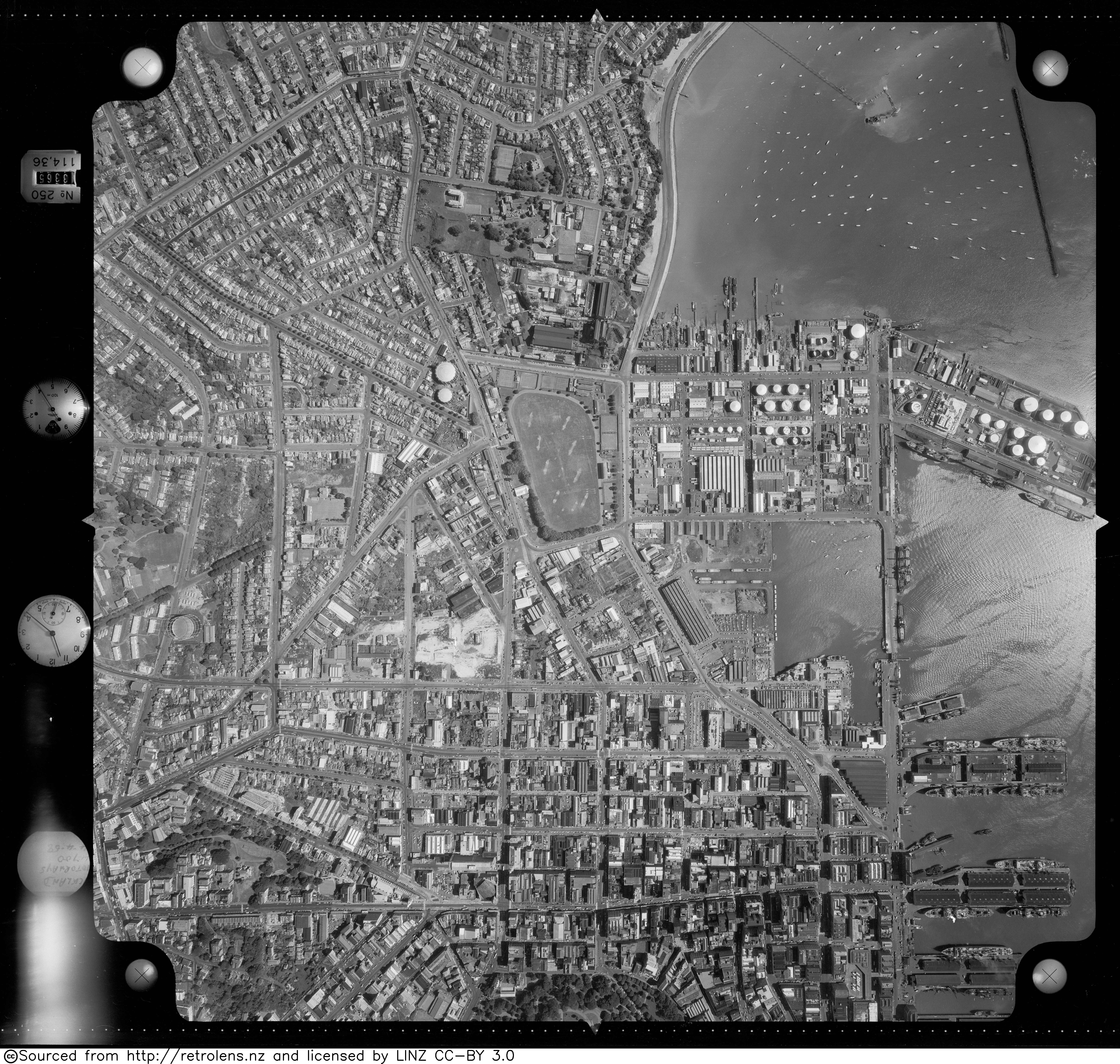
- ^ "Survey: SN1052 Run: J Photo: 1". Retrolens. 14 April 1958.
- ^ a b c d Haworth, Jenny (2016). Auckland Then and Now. United Kingdom: Pavilion Books. p. 14-15. ISBN 978-1-910904-79-4. Wikidata Q116870435.
- ^ "Auckland's waterfront and its changing face". Auckland City Libraries. Archived from the original on 18 October 2006.
- ^ "Dilworth Building". New Zealand Heritage List/Rārangi Kōrero. Heritage New Zealand. Retrieved 23 July 2013.
- ^ "Heritage Evaluation - Darby Building, 8-18 Darby Street, Auckland Central" (PDF). Auckland Council. May 2017.
External links
![]() Media related to Customs Street, Auckland at Wikimedia Commons
Media related to Customs Street, Auckland at Wikimedia Commons
You must be logged in to post a comment.