


Miara is a rural town and coastal locality in the Bundaberg Region, Queensland, Australia.[2][3] In the 2021 census, the locality of Miara had a population of 28 people.[1]
Geography
Yandaran Creek forms the south-eastern boundary, and the Coral Sea the north-eastern.[4]
History
The town's name is believed to be an Aboriginal word from the Kabi term meaning wild woman.[2]
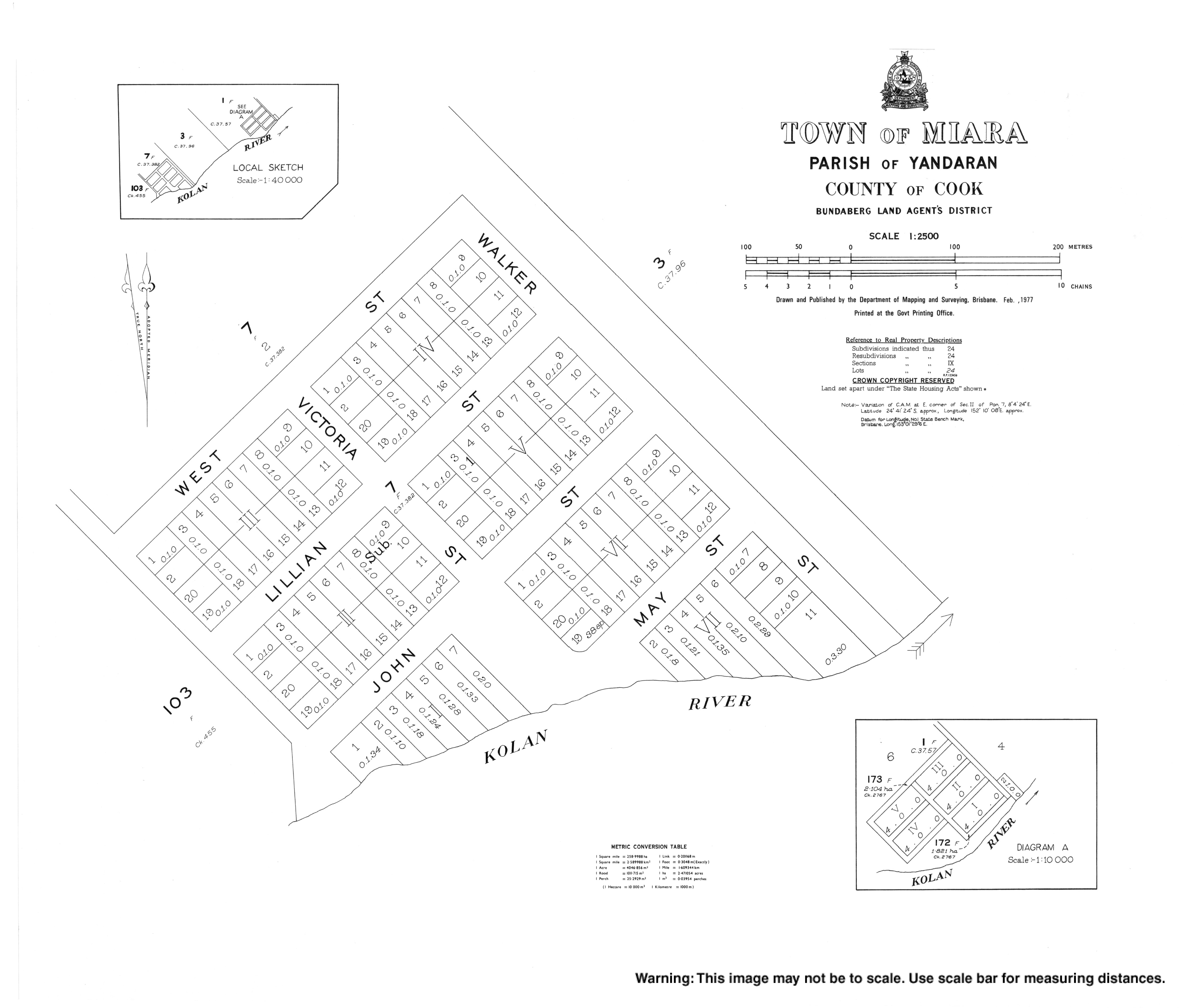
The town site was surveyed in 1884.[2]
Demographics
In the 2016 census, the locality of Miara had a population of 38 people.[5]
In the 2021 census, the locality of Miara had a population of 28 people.[1]
Education
There are no schools in Miara. The nearest government primary school is Yandaran State School in neighbouring Yandaran to the south-west. The nearest government secondary school in Rosedale State High School in Rosedale to the west.[6]
Amenities
There is a boat ramp on the north bank of Kolan River (24°40′35″S 152°11′55″E / 24.6764°S 152.1985°E). It is managed by the Bundaberg Regional Council.[7]
References
- ^ a b c Australian Bureau of Statistics (28 June 2022). "Miara (SAL)". 2021 Census QuickStats. Retrieved 28 February 2023.
- ^ a b c "Miara – town in Bundaberg Region (entry 21750)". Queensland Place Names. Queensland Government. Retrieved 6 March 2022.
- ^ "Miara – locality in Bundaberg Region (entry 44743)". Queensland Place Names. Queensland Government. Retrieved 6 March 2022.
- ^ "Miara, Queensland" (Map). Google Maps. Retrieved 20 August 2021.
- ^ Australian Bureau of Statistics (27 June 2017). "Miara (SSC)". 2016 Census QuickStats. Retrieved 20 October 2018.
- ^ "Queensland Globe". State of Queensland. Retrieved 23 June 2022.
- ^ "Recreational Boating Facilities Queensland". Queensland Open Data. Queensland Government. 12 November 2020. Archived from the original on 22 November 2020. Retrieved 22 November 2020.