


No higher resolution available.
Thetford_Priory_ruins.jpg (600 × 450 pixels, file size: 80 KB, MIME type: image/jpeg)
| Camera location | | View this and other nearby images on: OpenStreetMap |
|---|
| Object location | | View this and other nearby images on: OpenStreetMap |
|---|
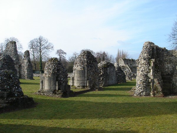
| Description | Ruins of Thetford Priory. | ||
| Date | |||
| Source | Geograph project | ||
| Author | Bob Jones | ||
| Permission (Reusing this file) |
This file is licensed under the Creative Commons Attribution-Share Alike 2.0 Generic license. Attribution: Bob Jones
|

_region:GB-ENG_&language=en)
File history
Click on a date/time to view the file as it appeared at that time.
| Date/Time | Thumbnail | Dimensions | User | Comment | |
|---|---|---|---|---|---|
| current | 15:29, 24 November 2006 | | 600 × 450 (80 KB) | GeeJo | {{Information| |Description = Ruins of Thetford Priory. |Source = [http://www.geograph.org.uk/photo/125903 Geograph project] |Date = Feb 2006 |Author = Bob Jones |Permission = {{geograph|125903|Bob Jones}} |other_versions = }} [[ |
File usage
The following page uses this file:
Global file usage
The following other wikis use this file:
- Usage on da.wikipedia.org
- Usage on eo.wikipedia.org
- Usage on fr.wikipedia.org
- Usage on ru.wikipedia.org