


No higher resolution available.
High_Street,_Bathford_-_geograph.org.uk_-_809104.jpg (640 × 486 pixels, file size: 92 KB, MIME type: image/jpeg)
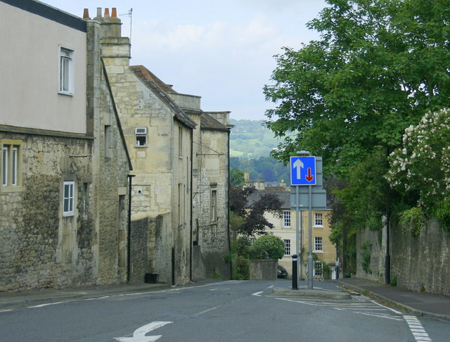
| Description | High Street, Bathford |
| Date | |
| Source | From geograph.org.uk; transferred by User:Magnus Manske using geograph_org2commons. |
| Author | Maurice Pullin |
| Permission (Reusing this file) |
Creative Commons Attribution Share-alike license 2.0 |
| Camera location | | View this and other nearby images on: OpenStreetMap |
|---|
| Object location | | View this and other nearby images on: OpenStreetMap |
|---|
_region:GB-EAW_heading:292.00&language=en)

|
This image was taken from the Geograph project collection. See this photograph's page on the Geograph website for the photographer's contact details. The copyright on this image is owned by Maurice Pullin and is licensed for reuse under the Creative Commons Attribution-ShareAlike 2.0 license.
|
This file is licensed under the Creative Commons Attribution-Share Alike 2.0 Generic license.
Attribution: Maurice Pullin
- You are free:
- to share – to copy, distribute and transmit the work
- to remix – to adapt the work
- Under the following conditions:
- attribution – You must give appropriate credit, provide a link to the license, and indicate if changes were made. You may do so in any reasonable manner, but not in any way that suggests the licensor endorses you or your use.
- share alike – If you remix, transform, or build upon the material, you must distribute your contributions under the same or compatible license as the original.
File history
Click on a date/time to view the file as it appeared at that time.
| Date/Time | Thumbnail | Dimensions | User | Comment | |
|---|---|---|---|---|---|
| current | 12:22, 8 March 2009 | | 640 × 486 (92 KB) | File Upload Bot (Magnus Manske) | {{Information |Description=High Street, Bathford |Source=From [http://www.geograph.org.uk/photo/809104 geograph.org.uk]; transferd by User:Magnus Manske using [http://toolserver.org/~magnus/geograph_org2commons.php geograph_org2commons]. |Date=2008-0 |
File usage
The following 3 pages use this file:
Global file usage
The following other wikis use this file:
- Usage on ceb.wikipedia.org
- Usage on eo.wikipedia.org
- Usage on fa.wikipedia.org
- Usage on fr.wikipedia.org
- Usage on it.wikipedia.org
- Usage on lld.wikipedia.org
- Usage on pl.wikipedia.org
- Usage on sv.wikipedia.org
- Usage on tr.wikipedia.org
- Usage on www.wikidata.org
- Usage on zh-min-nan.wikipedia.org