


No higher resolution available.
Ralph_Allens_Castle_-_geograph.org.uk_-_1762356.jpg (640 × 480 pixels, file size: 99 KB, MIME type: image/jpeg)
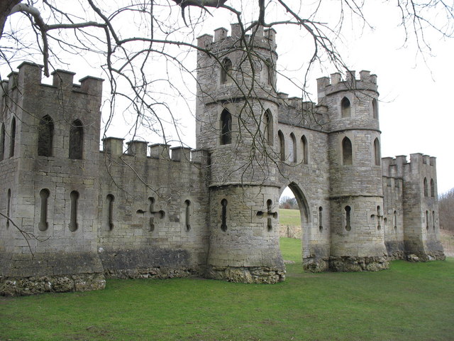
This is a photo of listed building number 1312449. |
Summary
| Description |
English: Ralph Allens Castle Sham Castle overlooking Bath |
| Date | |
| Source | From geograph.org.uk |
| Author | Paul Brooker |
| Attribution (required by the license) | Paul Brooker / Ralph Allens Castle / |
| Camera location | | View this and other nearby images on: OpenStreetMap |
|---|
_heading:157.00&language=en)
| Object location | | View this and other nearby images on: OpenStreetMap |
|---|
_heading:157.00&language=en)
Licensing

|
This image was taken from the Geograph project collection. See this photograph's page on the Geograph website for the photographer's contact details. The copyright on this image is owned by Paul Brooker and is licensed for reuse under the Creative Commons Attribution-ShareAlike 2.0 license.
|
This file is licensed under the Creative Commons Attribution-Share Alike 2.0 Generic license.
Attribution: Paul Brooker
- You are free:
- to share – to copy, distribute and transmit the work
- to remix – to adapt the work
- Under the following conditions:
- attribution – You must give appropriate credit, provide a link to the license, and indicate if changes were made. You may do so in any reasonable manner, but not in any way that suggests the licensor endorses you or your use.
- share alike – If you remix, transform, or build upon the material, you must distribute your contributions under the same or compatible license as the original.
File history
Click on a date/time to view the file as it appeared at that time.
| Date/Time | Thumbnail | Dimensions | User | Comment | |
|---|---|---|---|---|---|
| current | 21:37, 11 March 2011 | | 640 × 480 (99 KB) | GeographBot | == {{int:filedesc}} == {{Information |description={{en|1=Ralph Allens Castle Sham Castle overlooking Bath}} |date=2010-03-09 |source=From [http://www.geograph.org.uk/photo/1762356 geograph.org.uk] |author=[http://www.geograph.org.uk/profile/37521 Paul Bro |
File usage
The following 6 pages use this file:
Global file usage
The following other wikis use this file:
- Usage on de.wikipedia.org
- Usage on fr.wikipedia.org
- Usage on it.wikipedia.org
- Usage on www.wikidata.org
- Usage on zh.wikipedia.org
You must be logged in to post a comment.