


Size of this preview: 800 × 600 pixels. Other resolutions: 320 × 240 pixels | 640 × 480 pixels | 1,024 × 768 pixels | 1,280 × 960 pixels | 2,000 × 1,500 pixels.
Original file (2,000 × 1,500 pixels, file size: 1.45 MB, MIME type: image/jpeg)
Summary
| Description |
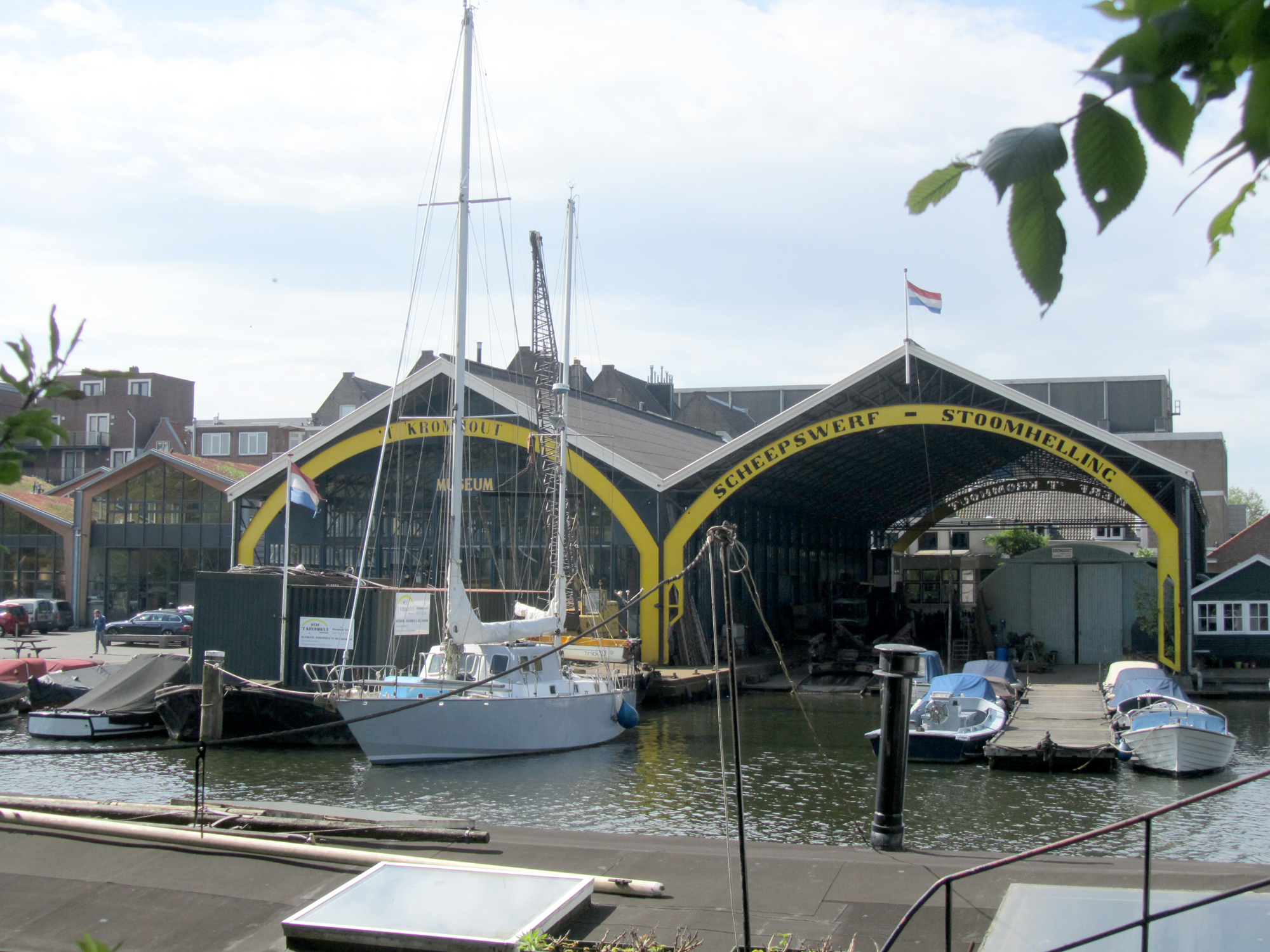
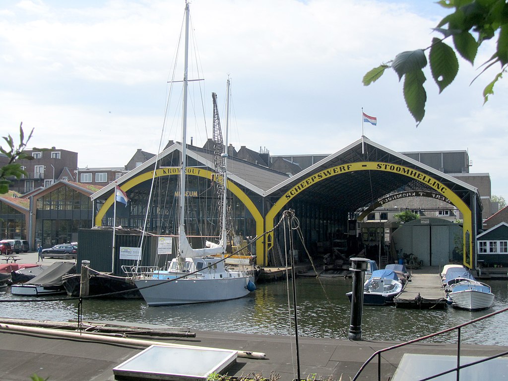
English: The historic shipyards Museumwerf 't Kromhout in Amsterdam |
| Date | |
| Source | Own work |
| Author | Jvhertum |
| Camera location | | View this and other nearby images on: OpenStreetMap |
|---|
|
This is an image of rijksmonument number 2046
Information from structured data:
|
Licensing
I, the copyright holder of this work, hereby publish it under the following license:
This file is licensed under the Creative Commons Attribution-Share Alike 3.0 Unported license.
- You are free:
- to share – to copy, distribute and transmit the work
- to remix – to adapt the work
- Under the following conditions:
- attribution – You must give appropriate credit, provide a link to the license, and indicate if changes were made. You may do so in any reasonable manner, but not in any way that suggests the licensor endorses you or your use.
- share alike – If you remix, transform, or build upon the material, you must distribute your contributions under the same or compatible license as the original.
File history
Click on a date/time to view the file as it appeared at that time.
| Date/Time | Thumbnail | Dimensions | User | Comment | |
|---|---|---|---|---|---|
| current | 14:28, 19 May 2012 | | 2,000 × 1,500 (1.45 MB) | Jvhertum |
File usage
The following page uses this file:
Global file usage
The following other wikis use this file:
- Usage on fy.wikipedia.org
- Usage on nl.wikipedia.org
- Usage on www.wikidata.org
You must be logged in to post a comment.