


File:Sant'Andrea della Valle (Rome) - Façade.jpg
Size of this preview: 447 × 599 pixels. Other resolutions: 179 × 240 pixels | 358 × 480 pixels | 573 × 768 pixels | 764 × 1,024 pixels | 1,527 × 2,048 pixels | 5,336 × 7,154 pixels.
Original file (5,336 × 7,154 pixels, file size: 21.19 MB, MIME type: image/jpeg)
Summary
| Description |
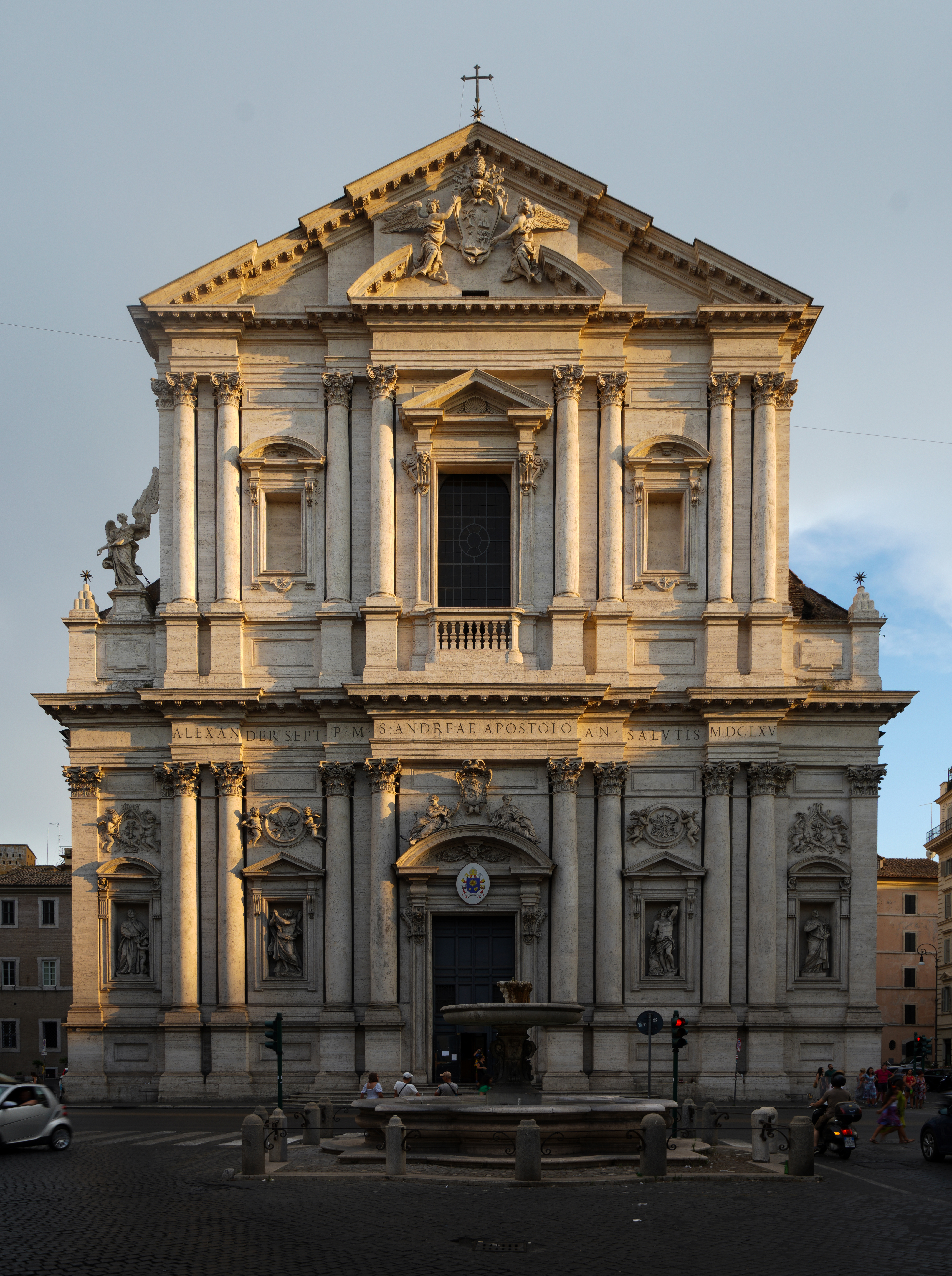
English: Sant'Andrea della Valle (Rome) - Façade |
| Date | |
| Source | Own work |
| Author | WikiRomaWiki |
| Object location | | View this and other nearby images on: OpenStreetMap |
|---|
_-_Fa%C3%A7ade.jpg¶ms=041.895833_N_0012.474444_E_globe:Earth_class:object_type:object__&language=en)
Licensing
I, the copyright holder of this work, hereby publish it under the following license:
This file is licensed under the Creative Commons Attribution-Share Alike 4.0 International license.
- You are free:
- to share – to copy, distribute and transmit the work
- to remix – to adapt the work
- Under the following conditions:
- attribution – You must give appropriate credit, provide a link to the license, and indicate if changes were made. You may do so in any reasonable manner, but not in any way that suggests the licensor endorses you or your use.
- share alike – If you remix, transform, or build upon the material, you must distribute your contributions under the same or compatible license as the original.

|
This image has been assessed under the valued image criteria and is considered the most valued image on Commons within the scope: Sant'Andrea della Valle (Rome) - Façade. You can see its nomination here. |
_-_Fa%C3%A7ade.jpg)
File history
Click on a date/time to view the file as it appeared at that time.
| Date/Time | Thumbnail | Dimensions | User | Comment | |
|---|---|---|---|---|---|
| current | 21:33, 10 November 2022 | | 5,336 × 7,154 (21.19 MB) | WikiRomaWiki | Uploaded own work with UploadWizard |
File usage
The following 2 pages use this file:
Global file usage
The following other wikis use this file:
- Usage on ast.wikipedia.org
- Usage on ca.wikipedia.org
- Usage on cs.wikipedia.org
- Usage on de.wikipedia.org
- Usage on es.wikipedia.org
- Usage on et.wikipedia.org
- Usage on eu.wikipedia.org
- Usage on fa.wikipedia.org
- Usage on fi.wikipedia.org
- Usage on fr.wikipedia.org
- Usage on gl.wikipedia.org
- Usage on id.wikipedia.org
- Usage on it.wikipedia.org
- Usage on it.wikivoyage.org
- Usage on ja.wikipedia.org
- Usage on mk.wikipedia.org
- Usage on nl.wikipedia.org
- Usage on pl.wikipedia.org
- Usage on ru.wikipedia.org
- Usage on sh.wikipedia.org
- Usage on zh.wikipedia.org
_-_Fa%C3%A7ade.jpg)