


File:Northern philippines map.JPG
No higher resolution available.
Northern_philippines_map.JPG (329 × 581 pixels, file size: 55 KB, MIME type: image/jpeg)
Summary
| Description |
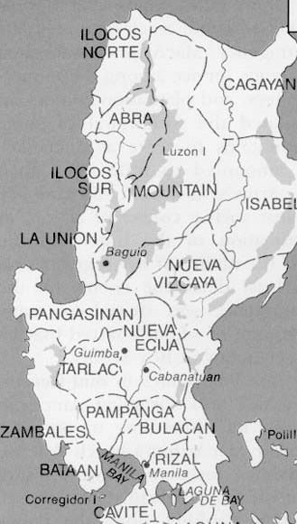
English: A map taken from a U.S. Army history of World War II. |
| Date | after 1945 |
| Source | U.S. army |
| Author | Unknown author |
Licensing
This file is a work of a U.S. Army soldier or employee, taken or made as part of that person's official duties. As a work of the U.S. federal government, it is in the public domain in the United States.
|
 |
File history
Click on a date/time to view the file as it appeared at that time.
| Date/Time | Thumbnail | Dimensions | User | Comment | |
|---|---|---|---|---|---|
| current | 13:02, 12 September 2011 | | 329 × 581 (55 KB) | Smallchief | {{Information |Description ={{en|1=A map taken from a U.S. Army history of World War II. }} |Source =U.S. army |Author =unknown |Date =after 1945 |Permission = |other_versions = }} Category:Philippines [[Category:Wor |
File usage
The following 8 pages use this file:
Global file usage
The following other wikis use this file:
- Usage on ka.wikipedia.org