


No higher resolution available.
St._Stephens_Church,_Gateacre,_Liverpool.jpg (640 × 480 pixels, file size: 99 KB, MIME type: image/jpeg)
Summary
| Description |
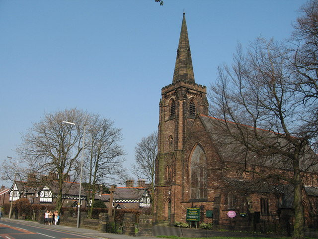
English: St Stephen's parish church, Belle Vale Road, Gateacre, Liverpool, seen from the southwest. The foundation stone was laid 1 April 1872. |
| Date | |
| Source | From geograph.org.uk |
| Author | Sue Adair |
| Attribution (required by the license) | Sue Adair / St Stephen's, Gateacre / |
| Camera location | | View this and other nearby images on: OpenStreetMap |
|---|
This is a photo of listed building number 1356289. |

|
This image was taken from the Geograph project collection. See this photograph's page on the Geograph website for the photographer's contact details. The copyright on this image is owned by Sue Adair and is licensed for reuse under the Creative Commons Attribution-ShareAlike 2.0 license.
|
This file is licensed under the Creative Commons Attribution-Share Alike 2.0 Generic license.
Attribution: Sue Adair
- You are free:
- to share – to copy, distribute and transmit the work
- to remix – to adapt the work
- Under the following conditions:
- attribution – You must give appropriate credit, provide a link to the license, and indicate if changes were made. You may do so in any reasonable manner, but not in any way that suggests the licensor endorses you or your use.
- share alike – If you remix, transform, or build upon the material, you must distribute your contributions under the same or compatible license as the original.
Licensing
File history
Click on a date/time to view the file as it appeared at that time.
| Date/Time | Thumbnail | Dimensions | User | Comment | |
|---|---|---|---|---|---|
| current | 18:32, 24 June 2009 | | 640 × 480 (99 KB) | Daviessimo | {{Information |Description={{en|1=St. Stephens Church in Gateacre, Liverpool, as viewed from Belle Vale road}} |Source=http://www.geograph.org.uk/photo/386427 |Author=Sue Adair |Date=2007 |Permission= |other_versions= }} <!--{{ImageUpload|full}}--> [[Cat |
File usage
The following 4 pages use this file:
Global file usage
The following other wikis use this file:
- Usage on arz.wikipedia.org
- Usage on eu.wikipedia.org
- Usage on ga.wikipedia.org
- Usage on io.wikipedia.org
- Usage on www.wikidata.org