


Size of this preview: 517 × 599 pixels. Other resolutions: 207 × 240 pixels | 602 × 698 pixels.
Original file (602 × 698 pixels, file size: 1.06 MB, MIME type: image/png)
| Description | ||||
| Date | Unknown date, possibly late 1940s | |||
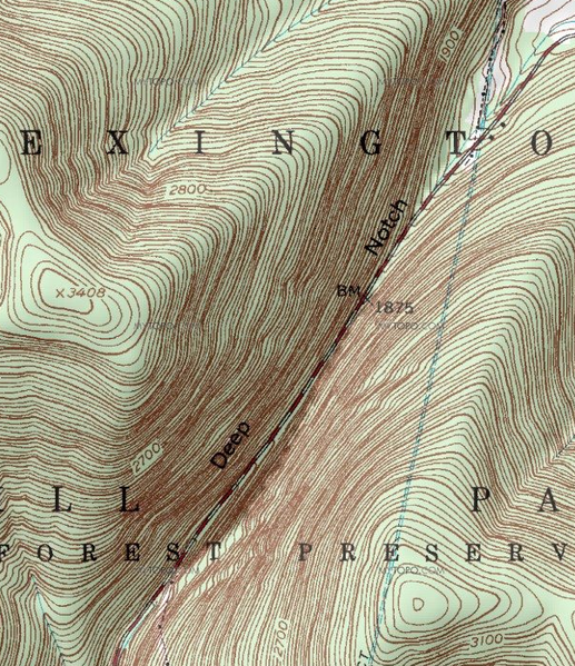
| Source | Cropped from USGS West Kill topo map, viewed at mapper.acme.com | |||
| Author | Unknown author | |||
| Permission (Reusing this file) |
|
File history
Click on a date/time to view the file as it appeared at that time.
| Date/Time | Thumbnail | Dimensions | User | Comment | |
|---|---|---|---|---|---|
| current | 15:39, 8 July 2010 | | 602 × 698 (1.06 MB) | Daniel Case | {{Information |Description={{en|1=Topographic map of Deep Notch, Lexington, NY, USA}} |Source=Cropped from USGS West Kill topo map, viewed at mapper.acme.com |Author=Unknown |Date=Unk |
File usage
The following page uses this file: