


File:Crowtrees Farm.jpg
Size of this preview: 800 × 581 pixels. Other resolutions: 320 × 232 pixels | 640 × 465 pixels | 1,024 × 743 pixels | 1,280 × 929 pixels | 2,560 × 1,859 pixels | 3,862 × 2,804 pixels.
Original file (3,862 × 2,804 pixels, file size: 2.9 MB, MIME type: image/jpeg)
Summary
| Description |
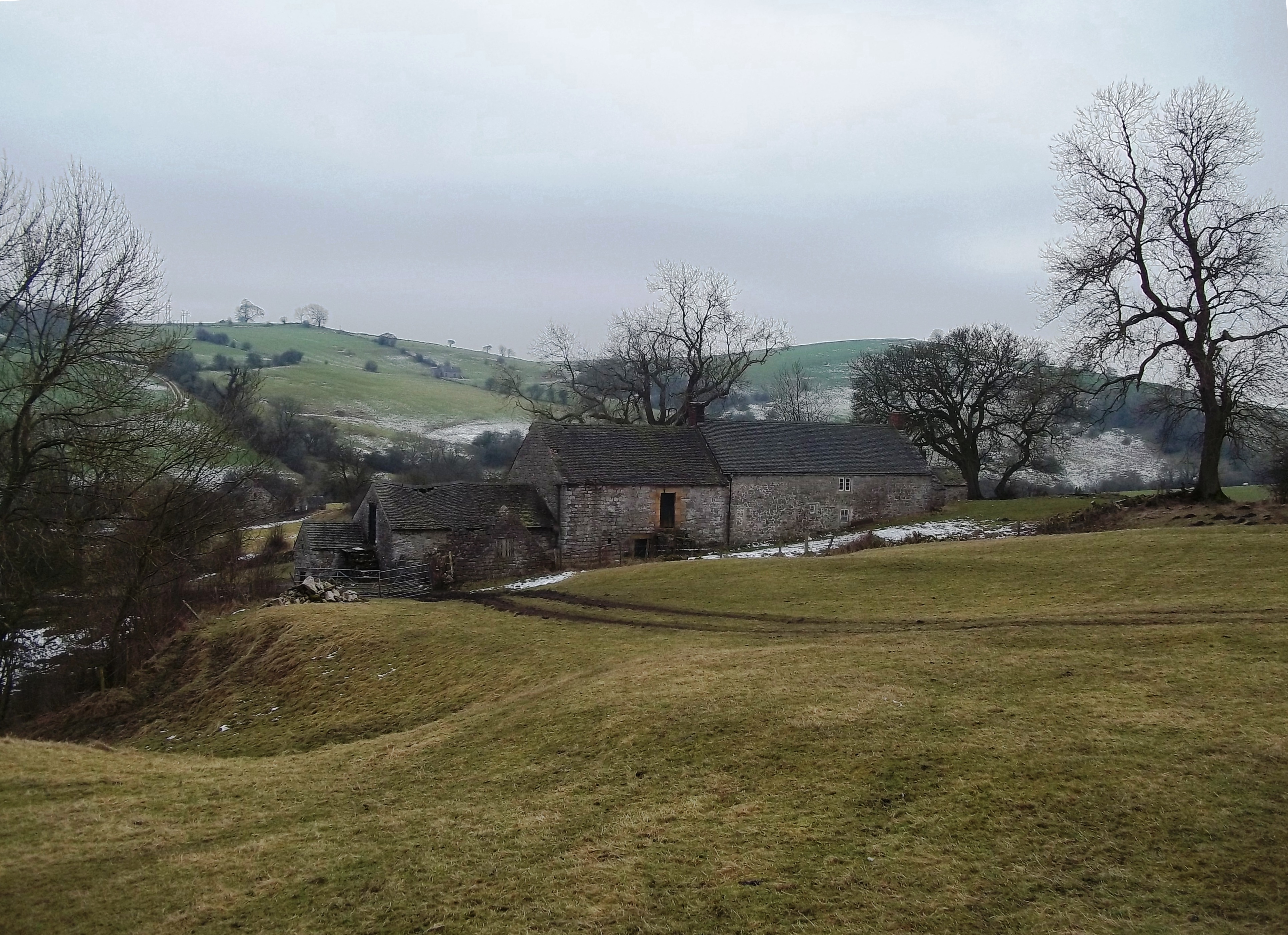
English: Photograph of Crowtrees Farm, Bradbourne, Derbyshire, England |
| Date | |
| Source | https://www.geograph.org.uk/photo/4339872 |
| Author | Jonathan Clitheroe |
| Attribution (required by the license) | Jonathan Clitheroe / Crowtrees Farm near Bradbourne / |
|
This is a photo of listed building number 1109473. |
| Camera location | | View this and other nearby images on: OpenStreetMap |
|---|
Licensing

|
This image was taken from the Geograph project collection. See this photograph's page on the Geograph website for the photographer's contact details. The copyright on this image is owned by Jonathan Clitheroe and is licensed for reuse under the Creative Commons Attribution-ShareAlike 2.0 license.
|
This file is licensed under the Creative Commons Attribution-Share Alike 2.0 Generic license.
Attribution:
Jonathan Clitheroe
- You are free:
- to share – to copy, distribute and transmit the work
- to remix – to adapt the work
- Under the following conditions:
- attribution – You must give appropriate credit, provide a link to the license, and indicate if changes were made. You may do so in any reasonable manner, but not in any way that suggests the licensor endorses you or your use.
- share alike – If you remix, transform, or build upon the material, you must distribute your contributions under the same or compatible license as the original.
File history
Click on a date/time to view the file as it appeared at that time.
| Date/Time | Thumbnail | Dimensions | User | Comment | |
|---|---|---|---|---|---|
| current | 11:18, 3 April 2022 | | 3,862 × 2,804 (2.9 MB) | Geograph Update Bot | Higher-resolution version from Geograph |
| 14:43, 28 March 2022 |  | 1,024 × 743 (223 KB) | Peter I. Vardy | Uploaded a work by Jonathan Clitheroe from https://www.geograph.org.uk/photo/4339872 with UploadWizard |
File usage
The following page uses this file:
Global file usage
The following other wikis use this file:
- Usage on www.wikidata.org