


File:CastleMaurickVught.JPG
Size of this preview: 800 × 600 pixels. Other resolutions: 320 × 240 pixels | 640 × 480 pixels | 1,024 × 768 pixels.
Original file (1,024 × 768 pixels, file size: 476 KB, MIME type: image/jpeg)
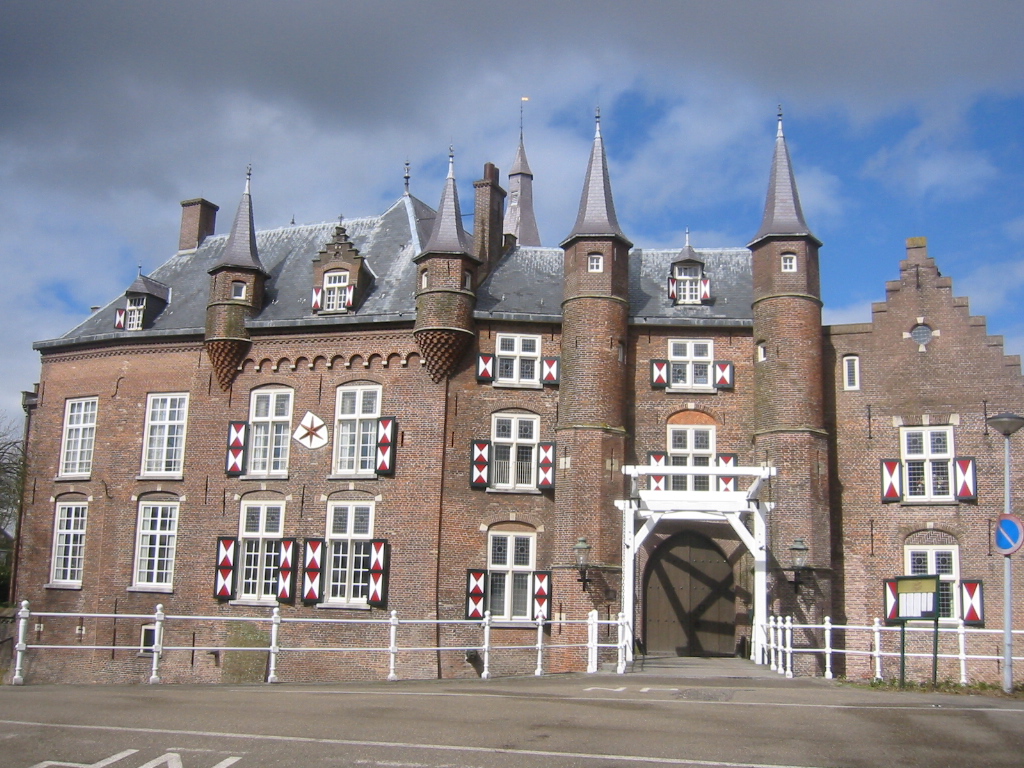
Summary
|
This is an image of rijksmonument number 38161
Information from structured data:
|
| Description | Castle Maurick, Vught, Netherlands |
| Date | |
| Source | Own work |
| Author | M. Trum - Vught |
| Object location | | View this and other nearby images on: OpenStreetMap |
|---|
Licensing
| I, the copyright holder of this work, release this work into the public domain. This applies worldwide. In some countries this may not be legally possible; if so: I grant anyone the right to use this work for any purpose, without any conditions, unless such conditions are required by law. |
File history
Click on a date/time to view the file as it appeared at that time.
| Date/Time | Thumbnail | Dimensions | User | Comment | |
|---|---|---|---|---|---|
| current | 15:13, 12 February 2007 | | 1,024 × 768 (476 KB) | Mystro82 | {{Information |Description=Castle Maurick, Vught, Netherlands |Source=own work |Date=2006 |Author=M. Trum - Vught |Permission= |other_versions= }} == Licensing == {{PD-self}} Category:Vught |
File usage
The following page uses this file:
Global file usage
The following other wikis use this file:
- Usage on de.wikipedia.org
- Usage on nl.wikipedia.org
- Usage on pt.wikipedia.org
- Usage on ru.wikipedia.org
- Usage on sl.wikipedia.org
- Usage on vi.wikipedia.org
- Usage on www.wikidata.org