


Size of this preview: 800 × 533 pixels. Other resolutions: 320 × 213 pixels | 640 × 427 pixels | 1,024 × 683 pixels | 1,200 × 800 pixels.
Original file (1,200 × 800 pixels, file size: 351 KB, MIME type: image/jpeg)
| Camera location | | View this and other nearby images on: OpenStreetMap |
|---|
Summary
| Description |
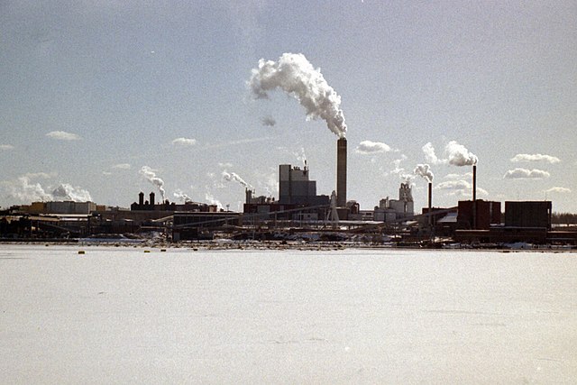
Suomi: Kaukaan tehtaat Lappeenrannassa nähtynä jäätyneeltä Saimaalta |
| Date | |
| Source | Own work |
| Author | Petritap |
Licensing
| I, the copyright holder of this work, release this work into the public domain. This applies worldwide. In some countries this may not be legally possible; if so: I grant anyone the right to use this work for any purpose, without any conditions, unless such conditions are required by law. |
File history
Click on a date/time to view the file as it appeared at that time.
| Date/Time | Thumbnail | Dimensions | User | Comment | |
|---|---|---|---|---|---|
| current | 18:00, 20 August 2008 | | 1,200 × 800 (351 KB) | Petritap | {{Information |Description={{en|1=Kaukas Paper Mills in Lappeenranta, Finland. Seen from the ice-covered Lake Saimaa.}} |Source=Own work by uploader |Author=Petritap |Date=15 Apr 1998 |Permission= |other_versions= }} <!--{{ImageUpload|f |
File usage
The following page uses this file:
Global file usage
The following other wikis use this file:
- Usage on fi.wikipedia.org
- Usage on fr.wikipedia.org
- Usage on sv.wikipedia.org